The official start to the Atlantic Hurricane Season is June 1st. Now is a good time to make preparations for an emergency evacuation and formulate your disaster plan, check your insurance, storm shutters, and put together emergency supplies.
The Department of Atmospheric Science at Colorado State University has published its forecast for the Atlantic basin 2010 hurricane activity, based on over 58 years of past data and predictive statistical analysis. Early season forecasts are for the following:
| Atlantic Hurricane Season | April 2010 forecast | 1950 – 2000 average |
| Named storms (>35mph) | 15 | 9.6 |
| Hurricanes (>72mph) | 8 | 5.9 |
| Major hurricanes (>111mph) | 4 | 2.3 |
| US landfall likelihood | 69% | 52% |
| Gulf Coast landfall | 45% | 31% |
According to forecasters Philip J. Klotzbach and William M. Gray, “We continue to foresee above-average activity for the 2010 Atlantic hurricane season. We have increased our seasonal forecast from the mid-point of our initial early December prediction due to a combination of anomalous warming of Atlantic tropical sea surface temperatures and a more confident view that the current El Niño will weaken. We anticipate an above-average probability of United States and Caribbean major hurricane landfall.” (as of 7 April 2010) For the full report click here.
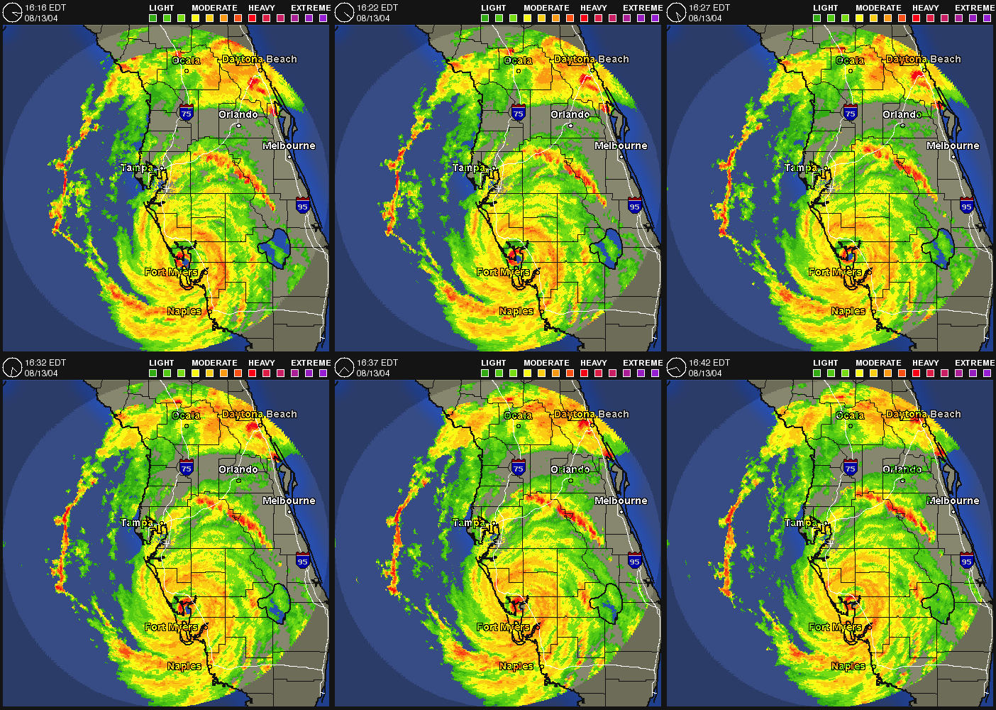
 The active year of 2005 and Hurricane Katrina may have passed into memory, and the past few years have seen quiet seasons for the Florida Gulf Coast even as a record breaking two intense Category 5 hurricanes made landfall in Mexico 2007. In 2004 Hurricane Charlie over-washed North Captiva Island, causing major damage there and Charlotte Harbor surroundings. Although not far away, Anna Maria Island was unaffected by Charlie’s small but heavy footprint.
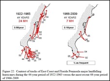
The frequency of hurricanes may have declined over the last 44 years but the intensity of storms has increased. Now with a much larger population and more dense development, Florida and the Sun Coast is more vulnerable to the effects of hurricanes than ever before.
Check your local and regional papers for hurricane preparedness information and tips that come out at this time of year, and know your evacuation routes and destination. Find a location that is not subject to flood zone evacuation advisories and as near as possible in order to avoid being trapped by traffic congestion and clogged roads. Avoid using public shelters, which will be over-crowded and under-serviced. See flood zone and shelter information for Manatee County or the telephone book for a map.
 Anna Maria Island’s three bridges to the mainland will all be closed at some time in a major storm, preventing egress of residents or entrance by emergency services. Consider the ramifications of ‘riding out the storm’ or trying to return when there is no power, water, or communication, perhaps for many days or weeks.
Review your insurance policies and gather important papers ready for evacuation. Home owners’ insurance does not cover damage from rising waters but NFIP offers taxpayer-subsidized flood insurance policies. If a named storm is in the area insurance policies will not be issued therefore get prepared well in advance.
{openx:4}
Remember that residents of Holmes Beach must obtain a hanging tag for re-entry after evacuation.