
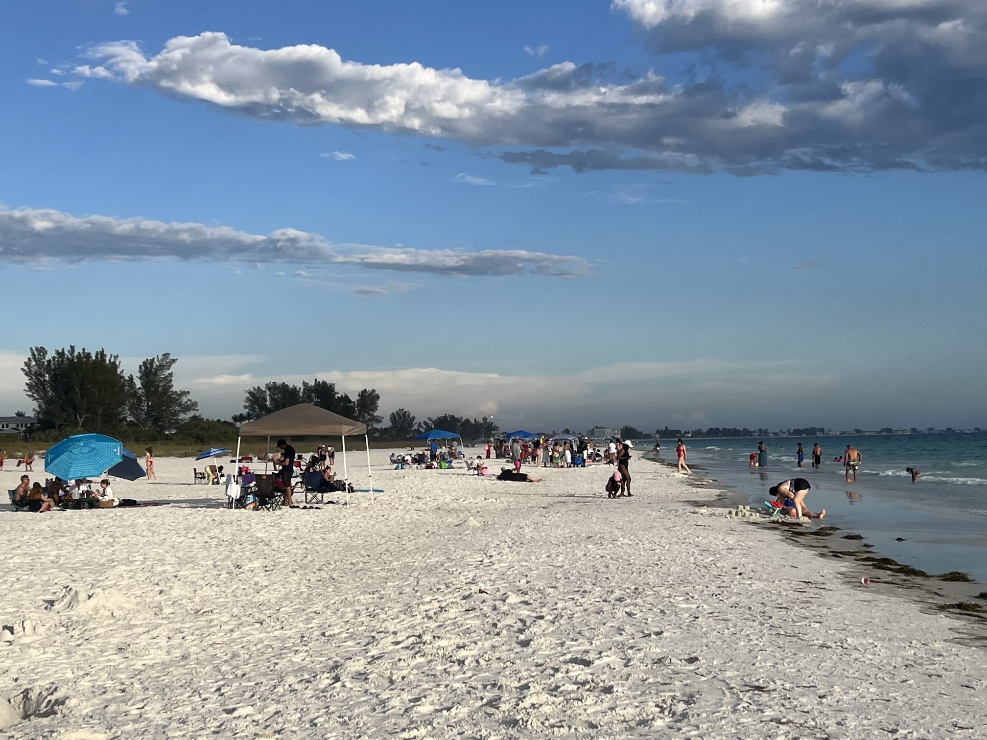
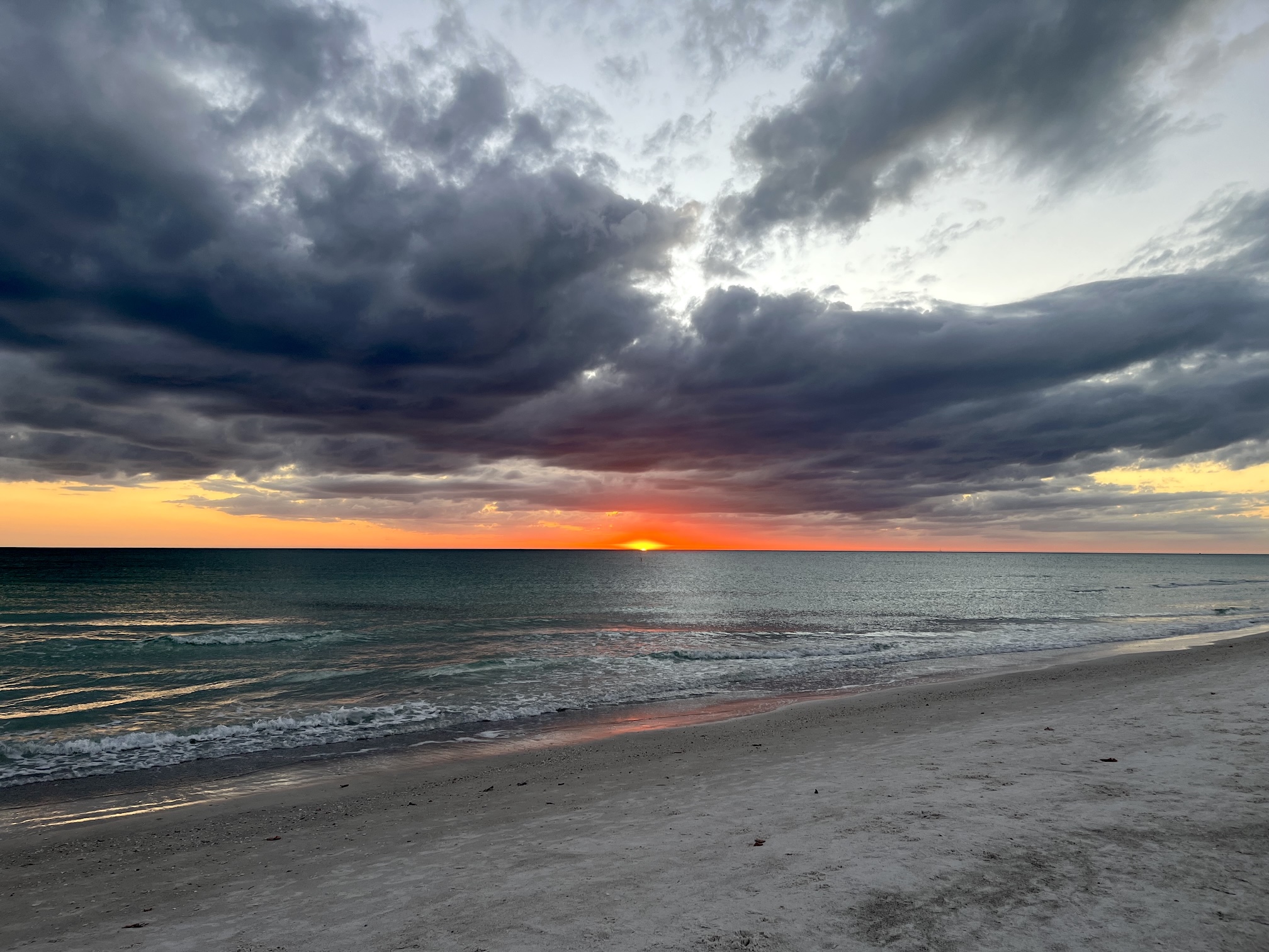


Hurricanes are not the only weather phenomenon that makes summers in Florida occasionally dramatic and potentially dangerous. Strong thunderstorms with accompanying lightning are common in the heat of summer as hot moist air masses collide between land and sea breezes. Fortunately, it is possible to take precautions that greatly reduce the risk of personal harm and for ways to safeguard your electronics with whole house lightning protectors or in-line surge and lightning protectors.
As a recent reminder that Anna Maria Island is close to Lightning Alley, the corridor between Tampa and Orlando, which receives more lightning strikes than anywhere else in the United States, our immediate next-door neighbors, all too dramatically, were struck by lightning in almost the same place twice.
A strong thunderstorm seemed to be approaching our area, and I wondered whether it would be good to keep my distance from the kitchen window. Right at that moment, the view out the kitchen window filled with solid white light and the sound of a violent clap of thunder accompanied by a loud “clank” sound. The sound seemed to come from the neighbors’ direction, so I looked out the window at their flagpole, trees, house and boat. At first glance, everything looked as it usually did.
Only later did I learn that the boat on the lift had been struck. The electrical system was fried, metal parts were thrown from the boat, both outboard motors were destroyed, and, searching for the shortest way out, the lightning blew a hole through the hull. The insurance company decided it was a complete write-off. Not only that, the concrete seawall had been split where an electric chord crossed from the boat toward the house. They and we both lost televisions, and several homes in the neighborhood lost television cable service. The neighbor who lost the boat described a strange smell in the air when this happened.
Ten days later, when we were not at home, our neighbors experienced a second similar experience: simultaneous lightning and thunder, with an additional loud sound. They were certain lightning had hit either their house or ours. We came home to find our cable out again, with more damage to electronic devices connected to it. Our neighbors also lost more electronics. Fortunately, that was the extent of the damage this second time. My computer, which I had left plugged in, and turned on, was spared.
After all this, I was curious to learn more and did some research. Although I did not need confirmation that our properties had been struck, I was interested to read that the experience of a strike in the immediate area are a simultaneous flash and crackle, along with an additional sound, described as a snap. And there is a strange smell, which is attributed to ozone.
Lightning is a discharge of atmospheric electricity. Sixteen million lightning storms occur world-wide each year, and 70 percent of these are in the tropics. In Lightning Alley, between Tampa and Orlando, there are 20 lightning strikes per square kilometer, per year. It’s amazing to know there are places on earth that experience even more lightning than central Florida. (The highest number of strikes occurs in the eastern part of the Democratic Republic of the Congo, where there are 158 strikes per square kilometer, per year.)
Of all the states, Florida has by far more deaths from lightning than any other state. In the years 1990 to 2003, there were 126 fatalities from lightning in Florida. The second-highest number of deaths for that period occurred in Texas, where there were 52.
These figures and more are posted on the Web site of the National Lightning Safety Institute in Louisville, Colo. The institute lists safety tips, which it urges people to reprint and distribute:
Source: National Lightning Safety Institute in Louisville, Colorado
The importance of taking precautions even when inside a structure is illustrated by the fact that almost 3 percent of deaths by lightning occur via the telephone.
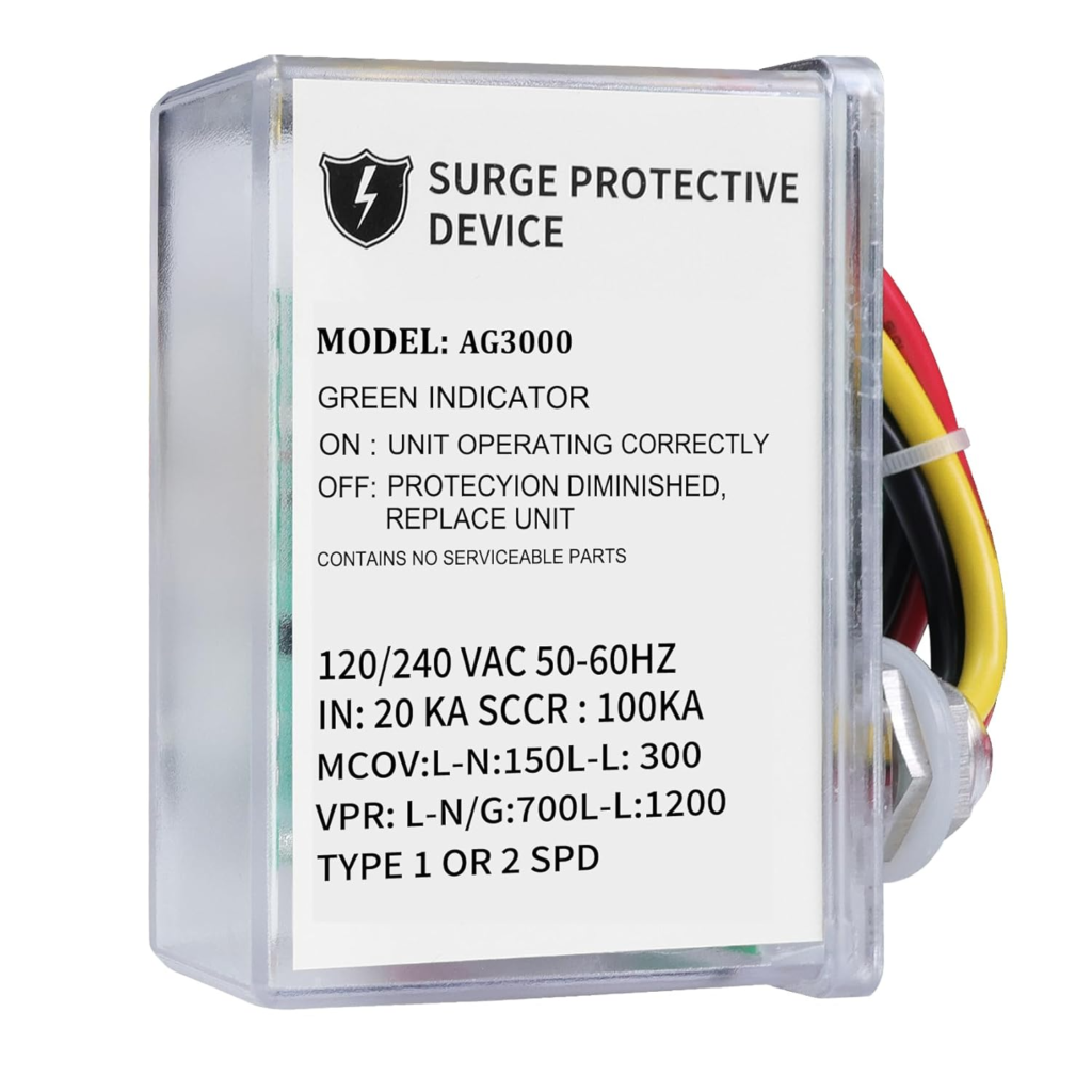
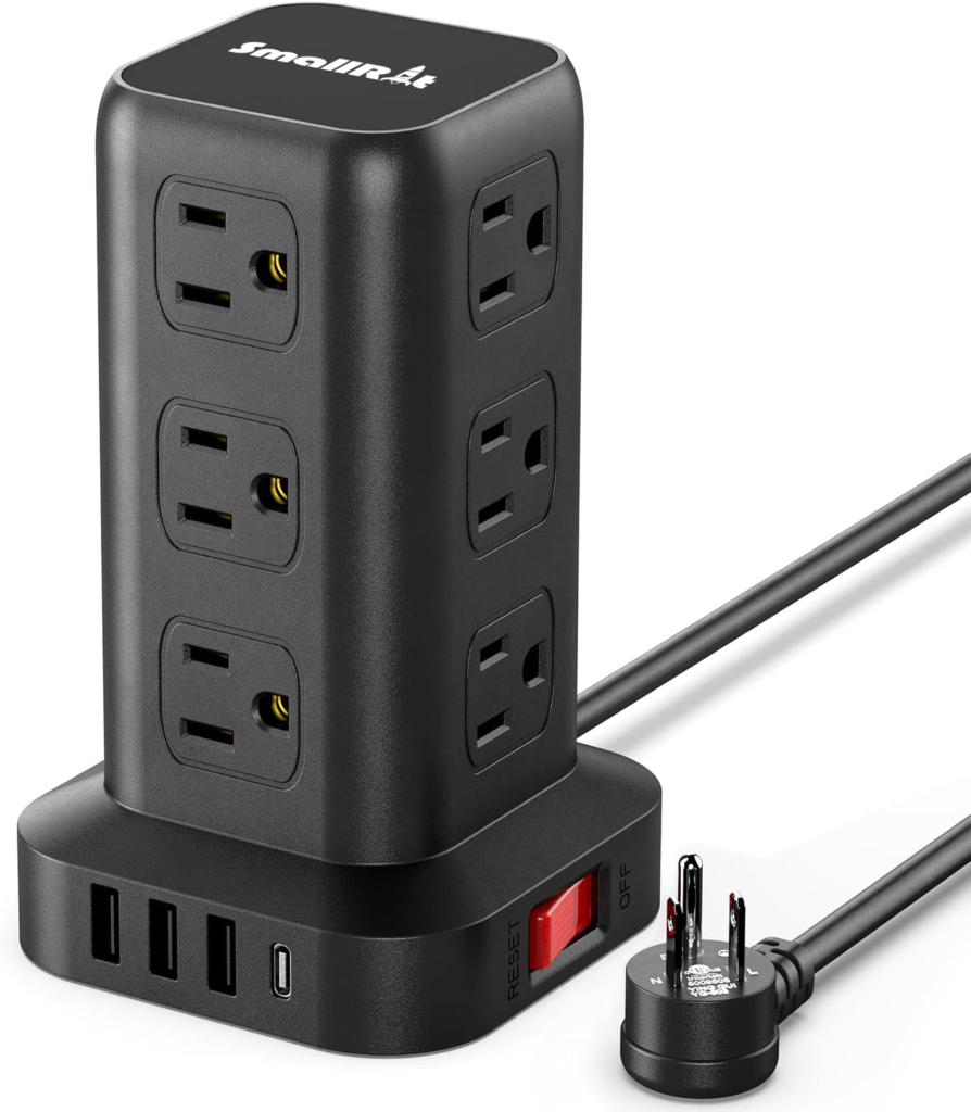
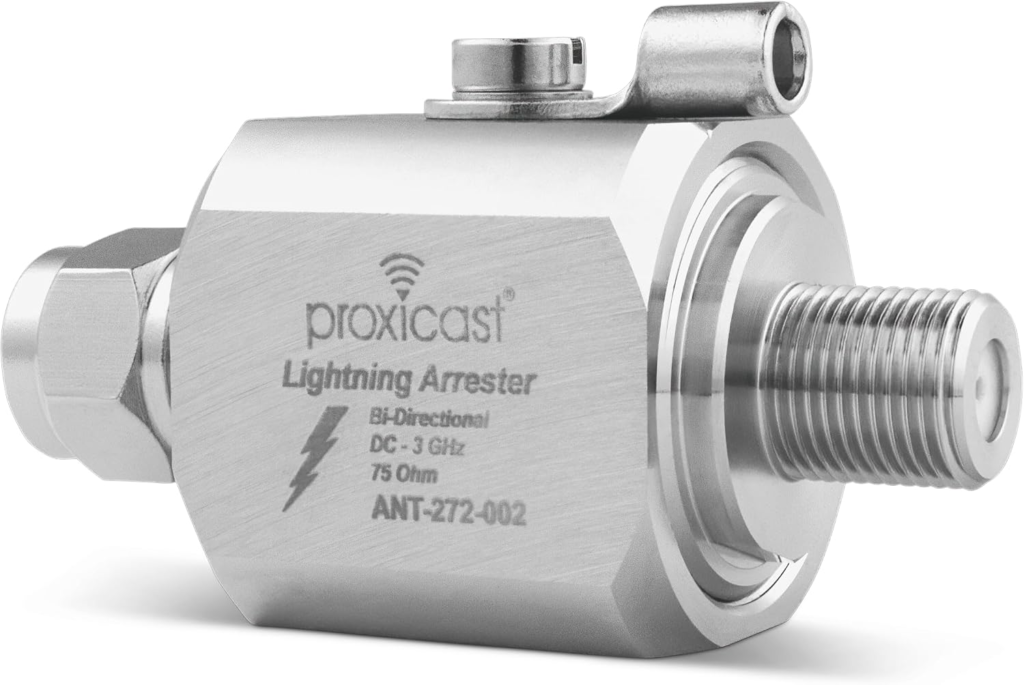
While being aware and keeping yourself and family safe, you can also protect valuable electronics, TV, cable boxes, Internet modems, and telephone equipment from damage by lightning strikes and power spikes by using in-line surge protectors and whole house lightning surge protectors.
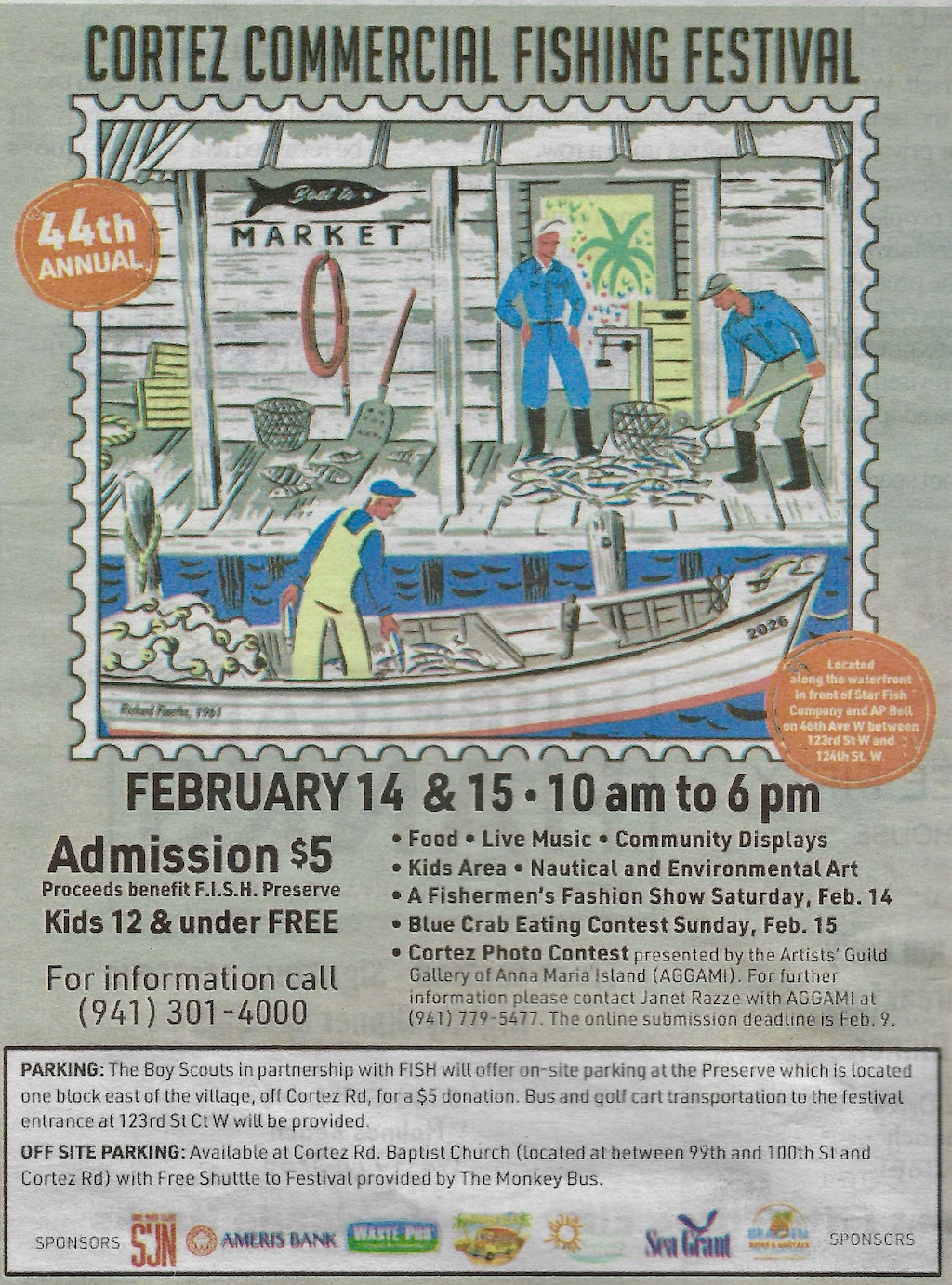
44th Annual Cortez Fishing Festival
February Saturday 14th & Sunday 15th, 2026, 10am to 6pm.
Located along the waterfront in front of Star Fish Company and AP Bell on 46th Ave W between 123rd St W and 124th St W, Cortez, Florida.
Featuring: Community displays, nautical and environmental art, food, live music, kid’s area, Cortez photo contest, fishermen’s fashion show Saturday, blue crab eating contest Sunday.
Admission $5 to benefit F.I.S.H. Preserve. Kids under 12 free.
Parking: The Boy Scouts in partnership with FISH will offer on-site parking at the Preserve, which is located one block east of Cortez Village, Cortez Road, for $5 donation. Bus and golf cart transportation to the festival entrance at 123rd St W will be provided.
Off-Site Parking is available at Cortez Road Baptist Church between 99th and 100th Street and Cortez Road with free shuttle to the festival provided by The Monkey Bus.
For festival information call 941-301-4000
The Cortez Photo Contest is presented by The Artists’ Guild Gallery of Anna Maria Island (AGGAMI). For further information please contact Janet Razze with AGGAMI at 941-779-5477. Online submission deadline is February 9.
The City of Holmes Beach will be holding a Hazardous Waste & E Scrap Drop-Off event at the Holmes Beach City Field on:
- Saturday – March 29, 2025 – 8:00 a.m. to 2:00 p.m.
- Sunday – March 30, 2025 – 8:00 a.m. to 2:00 p.m.
Dumpsters will be located at the City Field.
ELECTRONICS
- TVs
- Printers
- Hard Drives
- Computer Cords
- Etc.
HAZARDOUS WASTE
- Motor Oil
- Batteries
- Paint
- Cleans
- Etc

Anna Maria Island residents in Holmes Beach, Bradenton Beach, and Anna Maria City can dispose of household hazardous waste at a collection station to be set up January 27, 2024, by Manatee County. Hours will be 9am – 3pm on the Gulf side parking lot of Coquina Beach Park.

Accepted items include:
Unacceptable items include:
For more information see mymanatee.org or call Manatee County Utilities Operations Department at 941-798-6761


